January 30, 2012
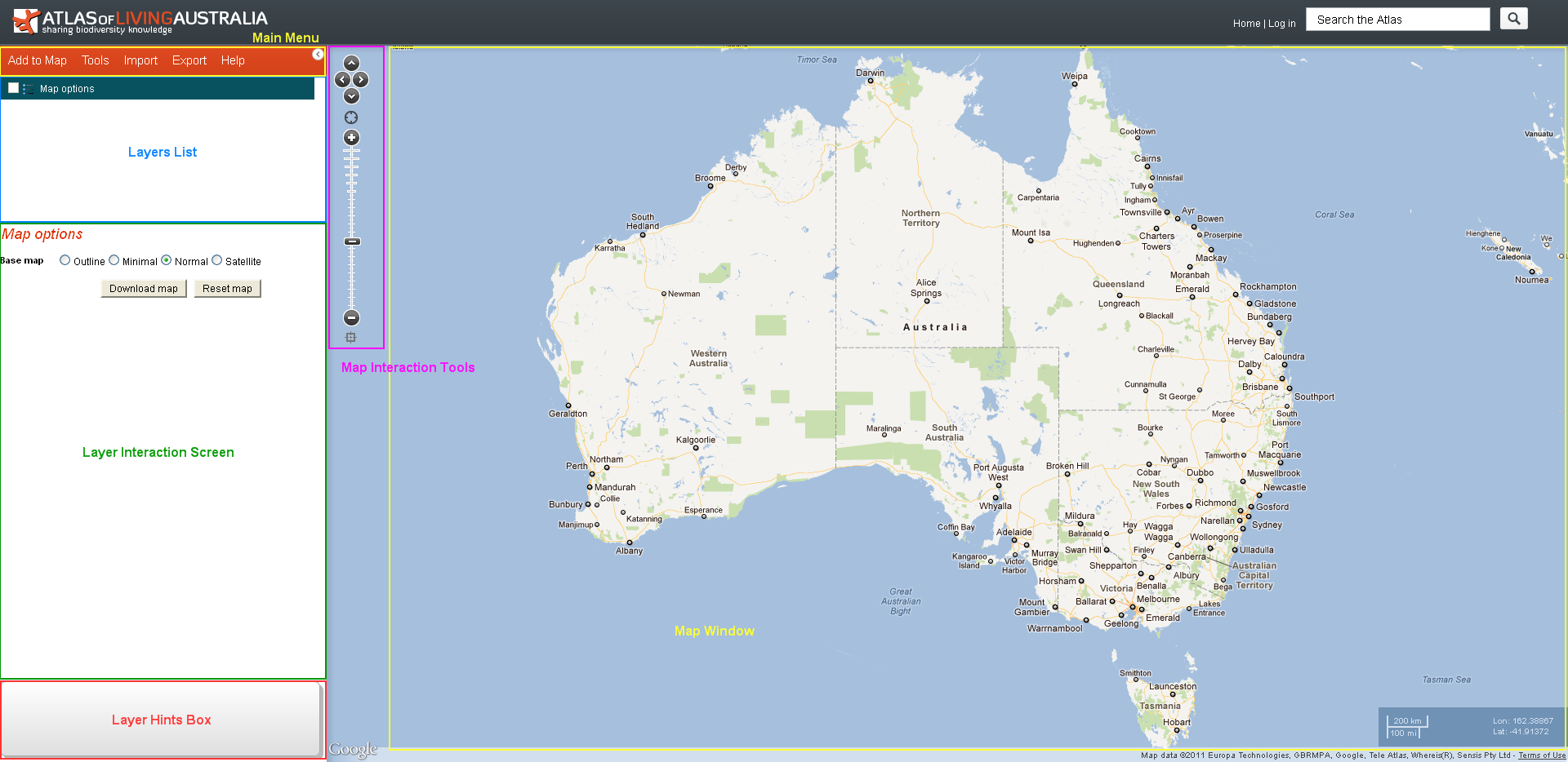
The Spatial Portal has five components:
- Main Menu tabs are used to add layers, perform analyses and access to the help system.
- Map Window and the Map Interaction Tools enable zoom, pan and interrogation of the map.
- Layers List displays all the layers applied to the map. The Map Options layer is always present, offering common map options.
- Layer Interaction Screen displays and edits legends and displays the scatterplot.
- Layer Hints Panel provides hints on the basis of the mapped layers and the available tools. The list is indicative, not inclusive.
The Map can be maximised  or minimised
  by clicking on the button adjacent to the top-left of the map window.
Menus
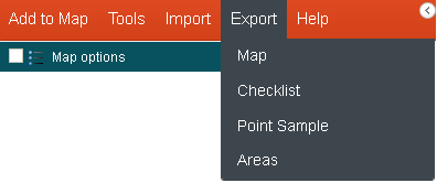
Menu Tabs options provide most of the functionality:

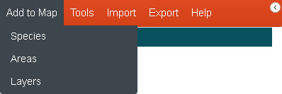
- Add to Map – There are three types of data that can be mapped – species, areas and layers. Species can be a single scientific name or a genus, family etc. Area can be predefined as in the state of Tasmania or user-defined as a polygon digitised (interactively) on the map. Predefined areas are based on a composite gazetteer – an integration of the 2011 Australian gazetteer (e.g., the town Sorell) and a comprehensive range of additional geographic features such as the locations of a land-use class called “forestry” (this will define multiple areas/polygons). Layers are comprised of grid of continuous values (such as mean annual temperature) and for convenience, polygons with class values (such as land-use layer with class “forestry”).
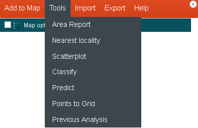
- Tools – Tools operate on one or more of the three basic data types. Data does not have to be pre-mapped to be used in the tools. Data will be prompted for as required, and use default values wherever possible. All the tools are able to be restricted to any area of interest.
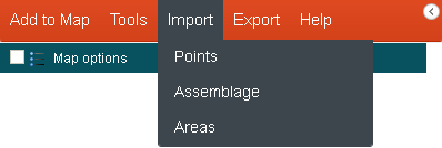
- Import – Import your own Data or Area
- Export – Export your analysis and findings
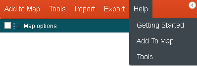
- Help – The Help Menu option takes you to the help text for the Spatial Portal.
Pop Ups
Popups are used within the Spatial Portal to perform a single step in a process. A pop-up will relate to one of three data types or an option for a tool. There is therefore three basic pop-ups that relate to the selection of ‘species’, areas and layers.
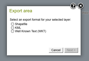
Example Pop-up
Wizards
Wizards are used throughout the system to guide the user through complex, multi-step procedures.
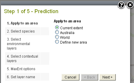
Example Wizard Page
NOTE: If you prefer to use the Keyboard with the various wizard boxes, pressing the Return key is equivalent to pressing the Next button. The up/down arrow keys can also be used to select radio buttons.
